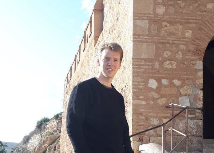
Thedmer Postma is a student in Geo-Information Sciences from Wageningen University and will do his academic internship for the coming 6 months. During his stay, he will primarily focus on developing a methodology for unsupervised land cover classification using satellite imagery to distinguish irrigated vs rainfed agricultural areas in the Campo de Cartagena area. During the research he will use the Google Earth Engine for satellite data gathering, classification and validation tasks. The second goal is to incorporate the methodology developed into a Google Earth Engine application. After completing his internship in July he will have obtained his Masters’ degree and his long career as a student will officially be over. Supervision and guidance are provided by Javier Martínez-López and Sytze de Bruin of the Laboratory of Geo-information Science and Remote Sensing at Wageningen University.
